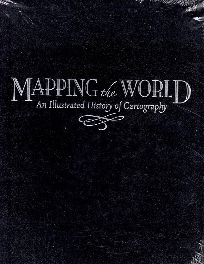
Mapping The World: An Illustrated History Of Cartography
Mapping The World: An Illustrated History Of Cartography is an exploration of the fascinating history of cartography from ancient times to the present day. This book takes readers on a journey through time, examining the ways in which maps and mapping techniques have changed over the centuries. It looks at the creation of maps as an art form, the development of cartographic tools and the application of mapmaking to various fields such as exploration, warfare and navigation. Throughout the book, readers are presented with a wealth of illustrations and images, offering a unique insight into the history of mapmaking and its various applications throughout history. With an engaging narrative and captivating visuals, Mapping The World: An Illustrated History Of Cartography is a must-have for anyone interested in the history of cartography and its impact on the world today.
Ancient Cartography
The art of cartography – the science of making maps – has been around since the dawn of civilization. Ancient cartography is a fascinating field of history that reveals how our ancestors viewed the world. From the earliest maps sketched in the sand to the intricate maps of the Renaissance, humans have always sought to make sense of their environment through cartography.
The oldest known maps were created by the ancient Sumerians in the Middle East around 5,000 years ago. These maps were simple depictions of the world, featuring basic lines and symbols to indicate rivers, cities, and mountains. Ancient Egyptians and Chinese also created maps of their respective lands, often with a religious or ceremonial purpose.
By the 1st century BCE, maps were being used to navigate trade routes over land and sea. These early maps were often hand-drawn on parchment or vellum, with careful attention paid to the accuracy of geographical features. The Roman Empire was particularly adept at this form of cartography, creating detailed maps of their vast empire.
The “Age of Exploration” in the 15th and 16th centuries saw a resurgence in the popularity of cartography. Sailors used rudimentary maps to chart new courses and discover new lands. Famous cartographers like Gerardus Mercator developed the Mercator projection, which is still widely used today.
The art of cartography continued to evolve in the centuries that followed, culminating in the digital revolution of the 21st century. Today, anyone with an internet connection can explore the world and create their own maps. Ancient cartography has left a lasting legacy, inspiring the generations that followed to unlock the secrets of the world through exploration and mapping.
Exploring The Renaissance
Of Cartography
Cartography has been essential to our understanding of the world since ancient times. In the fifteenth century, European explorers began to map vast parts of the world, leading to a period known as the “Renaissance of Cartography”. This period saw a surge in technological advancements in mapmaking, from the development of the first printed maps to the invention of the compass and the telescope. The Renaissance of Cartography was a crucial time in the evolution of our knowledge of the world, and it helped shape the geography we know today.
The Renaissance of Cartography saw the advent of some of the most famous maps in history. Among these was the Nuremberg Chronicle Map, created in 1493 by German engraver and cartographer, Albrecht Dürer. This map was the first to depict the Americas in a printed map, and it revolutionized cartography by introducing a more accurate and detailed view of the world. Similarly, the Cantino Planisphere, drawn in 1502 by an unknown Italian artist, provided a comprehensive view of the known world at the time.
The Renaissance of Cartography was also the first period to incorporate the use of celestial and oceanic navigation in mapmaking. This enabled sailors to accurately chart their course by using the stars, the Moon, and other celestial bodies as guides. The invention of the compass and the telescope also made it possible for explorers to accurately measure distances and explore far-flung corners of the world.
The Renaissance of Cartography transformed our understanding of the world and laid the foundations of the modern discipline of cartography. This period is remembered today for its innovation and impact on the way we view the world.
The Development Of Maps In The Age Of Exploration
Maps have been used in some form or another since ancient times. They have been a way of understanding the world, helping us to navigate unfamiliar lands and connect different cultures. However, it wasn’t until the Age of Exploration, which began in the late 15th century, that maps began to take on the form we are familiar with today.
It was during this period that cartography, or the art of map-making, began to develop. Maps began to be drawn on a much larger scale, with explorers venturing further and further out into the unknown. The Age of Exploration saw a surge in map-making with the help of new technology such as the astrolabe and the compass.
Maps were used for a variety of purposes, from navigation to political and economic control. As a result, maps became more detailed and accurate, often incorporating geographical features such as mountain ranges, rivers, and coastlines. They also began to feature symbols to represent different cities, towns, and other landmarks.
The Age of Exploration was a period of rapid technological advancement, and with it, a surge in map-making. The development of maps during this time has helped to shape the way we view the world today. They laid the groundwork for the modern world we live in and opened up a world of exploration for those willing to take the journey.

Advances In Cartographic Technology
Cartography has come a long way since its beginnings. The advances in cartographic technology have made it easier and faster to produce maps than ever before. From the invention of the printing press to the advent of satellite imagery, each new development has allowed us to create more accurate and detailed maps than ever before. Today, a cartographer has access to a wide range of cutting-edge tools, including Geographic Information Systems (GIS), Global Positioning System (GPS) receivers, and computer-aided design (CAD). These tools have revolutionized the way mapmakers create and share their work, allowing them to create highly detailed digital maps in a fraction of the time it takes to produce traditional paper-based maps. Furthermore, these tools allow cartographers to quickly share their work with others, making it easier to collaborate on projects and disseminate maps to the public. In addition, advances in Internet technology have enabled the creation of interactive online maps, allowing viewers to explore maps in ways that were not possible before. Through the use of these tools, cartography has become more accessible and easier to understand for the public.
Modern Applications Of Cartography
The science of cartography has come a long way from its humble beginnings as a tool for ancient travelers. Today, modern cartography is used in a variety of fields, from navigation of land and sea to the exploration of outer space. From Google Maps to GPS, cartography is an essential tool for understanding the world around us. Beyond these everyday applications, cartography is also used in the fields of geology, meteorology, and ecology. By providing detailed maps of the earth’s surface, cartographers can help identify areas of environmental risk and analyze changes in the landscape over time. In the field of medicine, cartographic data is used to identify regions with increased health risks, as well as areas of unequal access to health care. For businesses, cartography is used for market analysis, demographic studies, and locating potential sites for new stores or factories. Cartography is also used in the study of history, allowing historians to analyze changes in nations and empires over time. As technology continues to evolve, cartography will remain an invaluable tool for understanding the world.
The Impact Of Cartography On Society
Cartography has had a profound effect on human society since its inception. By creating visual representations of the world, cartographers have been able to make vast geographical areas accessible to those who would have otherwise been unable to explore them. This has enabled people to trade more easily, plan their travels more efficiently, and even settle in new lands. In addition, cartography has enabled us to understand the world better, from the shape of the continents to the flow of rivers and the location of mountains. It has allowed us to make sense of the vast and ever-changing world around us, and to make informed decisions about our future.
Furthermore, cartography has been used to improve public safety and to enhance the accuracy of maps used in navigation. When used in combination with other technologies such as GPS, cartography provides an invaluable tool for navigating unfamiliar territory and avoiding potential hazards. This has enabled people to explore the world more safely and confidently, something that would have been impossible without the help of cartographers.
Finally, the technological advancements in cartography over the years have enabled us to create incredibly detailed maps of our planet. These maps are not only aesthetically pleasing but also incredibly useful for understanding the world around us. They are used to plan large-scale projects, to monitor climate change, to identify natural resources, and to study the effects of human activity on the environment. In short, cartography has had an immense impact on society, and it continues to be an invaluable tool in the modern world.
FAQs About the Mapping The World: An Illustrated History Of Cartography
Q1. What is the main focus of the book “Mapping The World: An Illustrated History Of Cartography”?
A1. The main focus of the book is to provide a comprehensive overview of the history of cartography, from its earliest origins to the present day. It covers the development of mapping techniques, the evolution of geographic knowledge, and the impact of mapping on culture and society.
Q2. Is the book “Mapping The World: An Illustrated History Of Cartography” suitable for all audiences?
A2. Yes, the book is suitable for all audiences, from the general reader to the expert scholar. It is accessible and engaging, and includes numerous maps, diagrams, and illustrations to enhance the reader’s understanding of the subject matter.
Q3. Does the book “Mapping The World: An Illustrated History Of Cartography” include any modern cartography techniques?
A3. Yes, the book includes an overview of modern cartography techniques, such as satellite imagery and geographic information systems. It also covers the use of these techniques in areas such as navigation, urban planning, and environmental monitoring.
Conclusion
Mapping The World: An Illustrated History Of Cartography is an insightful book that provides an in-depth look at the history of cartography. It offers a comprehensive overview of the development of cartography from its beginnings to the present day, examining the tools, techniques, and technologies used to create maps. The book also explores the ways in which maps have been used to convey political power, cultural identity, and scientific knowledge. With its comprehensive coverage and detailed illustrations, this book is a valuable resource for anyone interested in the history of cartography.


